Over 99.9% of the deep ocean floor has never been directly observed or mapped in detail, with scientists having seen only about 0.001% of the seafloor through direct exploration. This means we know less about our own planet’s underwater terrain than we do about the surface of Mars.
The Shocking Scale of Our Ocean Ignorance
The ocean covers approximately 70% of Earth’s surface, yet the vast majority remains a complete mystery. While we have satellite imagery and basic sonar data for much of the ocean floor, detailed mapping that reveals geological features, ecosystems, and topography has covered less than 25% of the seafloor. The deep ocean floor—areas below 200 meters where sunlight cannot penetrate—represents a blind spot equivalent to six entire continents.
This knowledge gap is staggering when compared to our exploration of space. NASA and other space agencies have created detailed topographical maps of Mars, complete with mountain ranges, valleys, and crater formations. Meanwhile, entire underwater mountain ranges, deep-sea trenches, and ancient impact craters on Earth remain completely undiscovered.
Why Mapping the Ocean Floor Matters
The unexplored ocean floor isn’t just an academic curiosity—it holds critical information for humanity’s future. Scientists believe comprehensive ocean mapping could revolutionize our understanding of climate change, as ocean currents and underwater geological features play crucial roles in global weather patterns.
Earthquake and tsunami prediction could also improve dramatically with better seafloor maps. Many of the world’s most dangerous fault lines lie beneath the ocean, and understanding their structure could provide early warning systems that save countless lives. The 2004 Indian Ocean tsunami, which killed over 230,000 people, originated from underwater seismic activity that might have been better predicted with comprehensive ocean floor mapping.
The Ambitious Plan to Map Earth’s Final Frontier
Scientists have launched the most ambitious deep-sea mapping mission in history, with the goal of charting the entire ocean floor by 2030. This collaborative effort, known as Seabed 2030, brings together researchers from around the world using advanced sonar technology, autonomous underwater vehicles, and satellite data.
The mission faces enormous technical challenges. Water absorbs and scatters light, making traditional photography impossible in the deep ocean. Instead, researchers rely on multibeam sonar systems that can penetrate the darkness and create detailed three-dimensional maps of underwater terrain. These high-tech tools can reveal features as small as a few meters across, even in the deepest ocean trenches.
Hidden Treasures Waiting to Be Discovered
The unmapped ocean floor likely contains millions of undiscovered species. Scientists estimate that up to 80% of marine life remains unknown to science, with most of these mystery organisms living in the deep sea. Each new area mapped reveals bizarre creatures adapted to extreme pressure, total darkness, and unique chemical environments around underwater volcanic vents.
Beyond biological discoveries, the ocean floor contains geological history spanning billions of years. Ancient impact craters, preserved volcanic formations, and sediment layers hold clues about Earth’s past climate changes, mass extinction events, and the evolution of life itself.
The Technology Revolution Making Ocean Mapping Possible
Recent advances in autonomous underwater vehicles (AUVs) and remotely operated vehicles (ROVs) have made deep-sea exploration more feasible than ever before. These robotic explorers can withstand crushing pressure and operate for extended periods, collecting data from depths that would instantly kill human divers.
Improved satellite technology also contributes to ocean mapping efforts by detecting subtle variations in sea surface height that indicate underwater mountains and trenches. While not as detailed as direct sonar mapping, satellite data helps scientists identify priority areas for closer investigation.
FREQUENTLY ASKED
Why haven't we mapped the entire ocean floor yet? ▾
Ocean mapping requires expensive technology and is extremely time-consuming since water blocks light and satellite imagery, forcing scientists to use slower sonar-based mapping methods.
How much of the ocean floor will be mapped by 2030? ▾
The Seabed 2030 project aims to map 100% of the ocean floor by 2030, though this will likely be at varying levels of detail depending on the area's accessibility and importance.
What new discoveries might we find on the unmapped ocean floor? ▾
Scientists expect to discover new species, underwater mountain ranges, ancient geological formations, and potentially critical earthquake fault lines that could improve tsunami prediction.
How much of the ocean floor has been mapped in detail? ▾
Less than 25% of the seafloor has been mapped in detail, while over 99.9% of the deep ocean floor has never been directly observed or mapped. Scientists have only seen about 0.001% of the seafloor through direct exploration.
What technology is used to map the ocean floor? ▾
Scientists use multibeam sonar systems, autonomous underwater vehicles (AUVs), remotely operated vehicles (ROVs), and satellite data to map the ocean floor. These tools can create detailed three-dimensional maps and reveal features as small as a few meters across, even in the deepest ocean trenches.
Why is ocean floor mapping important for earthquake prediction? ▾
Many of the world's most dangerous fault lines lie beneath the ocean, and understanding their structure through detailed mapping could provide early warning systems for earthquakes and tsunamis. Better seafloor maps might have helped predict events like the 2004 Indian Ocean tsunami that killed over 230,000 people.
GO DEEPER
KEEP EXPLORING
 0:35
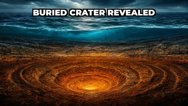
0:35A Hidden Crater Lurks Under the North Sea 🌊
Jul 26, 2026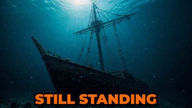 0:25
0:251,500-Year-Old Ship Still Has Its Mast Up 🚢✨
Jul 25, 2026 11:18
11:185 Sealed Worlds Earth Just Cracked Open 🌊😱
11 min read · Jul 25, 2026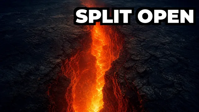 0:41
0:41The Ocean Floor Ripped Open 4.2m in 6 Days 🌊
Jul 24, 2026 0:33
0:33Ice Moved & Revealed a Secret World 🧊😱
Jul 23, 2026 0:18
0:18